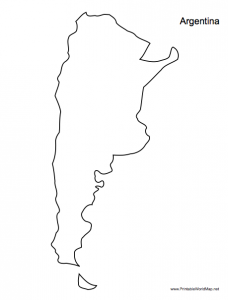
I’ve expanded the collection of maps at PrintableWorldMap.net to include 165 new maps. There are new country border maps showing 100 countries as standalone graphics, with accurate borders,. They can be printed out on a letter-size page, with space to fill in capitals, cities, and geographical features.
PrintableWorldMap.net also has a nice selection of blank and labeled maps. Many are available in both portrait and landscape orientation.
You’ll also find topical maps such as the Roman Empire, hemispheres and U.S. statehood. Other printables at the site include constellation maps, state maps, and continent maps.
All of the maps at the site are free, making them perfect for teachers, kids, and geography buffs. Or, pay $9 for the convenience of downloading the entire collection at one time.