Keep your printer busy with printables news, how-to's and inspiration
Free Printable Country and Constellation Maps
by Kay on September 10, 2019
My site PrintableWorldMap.net has more than 600 printable maps, from state maps to regional and topical maps. Each map is free to download and print!
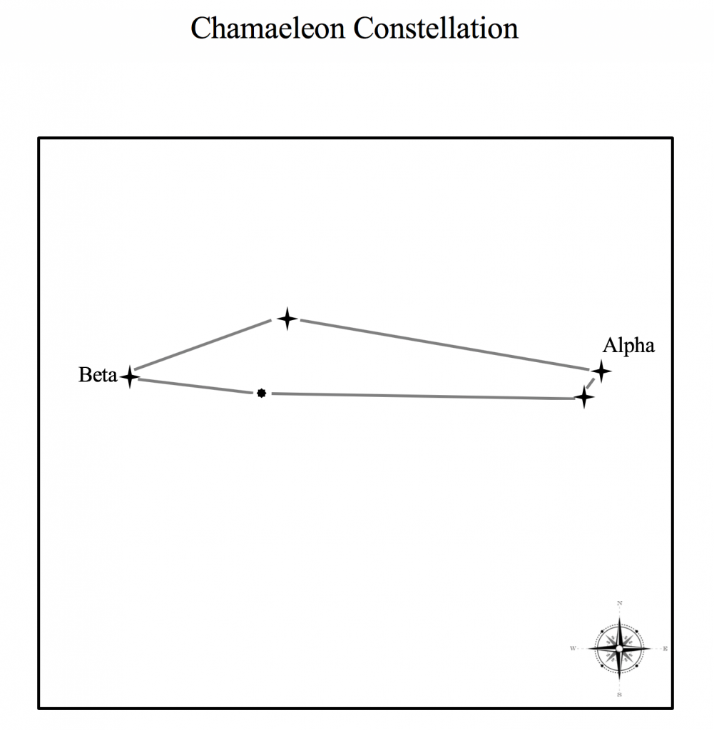
The newest maps include additions to the site’s constellation maps of the stars. Each map is labeled with the constellation name and has a compass in the corner. You’ll find illustrations of Draco, Cygnus, Fornax, Chamaeleon, Capricornus, Centaurus and other constellations.
PrintableWorldMap.net has labeled and unlabeled maps for geography practice.
The new country maps include: Cote d’Ivoire, Curacao and Aruba.
Also new is a black-and-white U.S. zip code map. Most of the topical maps at PrintableWorldMap.net are in color. Topics include: time zones, hemispheres, world bodies of water, the Roman empire, state flags, U.S. statehood, longitude and latitude, the Oregon Trail, tectonic plates, and animal habitats.
Each map downloads free as a PDF file. Or, conveniently download the entire map collection at once for just $9.
FreePrintable.net provides beautiful printable files that you can customize and print on your inkjet or laser printer — more than 60,000, and growing weekly.
You can keep updated about what's new at FreePrintable.net with this blog, or by subscribing to my free weekly e-mail newsletter: