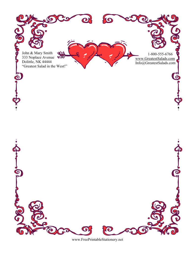
The FreePrintable.net sites have hundreds of printables to instantly download Valentine’s Day, from stationery for sweethearts to certificates for children. Whether you’re writing love letters, labeling treats for a classroom, or planning a party, I’ve got you covered.
The stationery at FreePrintableStationery.net can, along with the borders at PageBorders.net, can also be used for making flyers or signs. Designs feature heart-shaped music notes, animals in love, roses, candy, and lots more with formal or casual vibes.

FreePrintableCertificates.net has Valentine’s Day certificates, including romance “coupons,” prizes for a sweetheart, world’s best partner awards, and commemorative holiday certificates. FreePrintableColoringPages.net has coloring pages with chocolates, teddy bears, chocolates, cupids, hearts, and lots more to instantly print and color. The gift tags from PrintablePaper.net are great for presents as well as gifts of food. The holiday shopping, organizing, and gift lists at FreePrintableGroceryList.com help with party planning and holiday dinners.
You can also save time and purchase the Valentine’s Day Printables Pack with 40 specially curated Valentine printables. Happy Valentine’s Day!
{ Comments on this entry are closed }
